
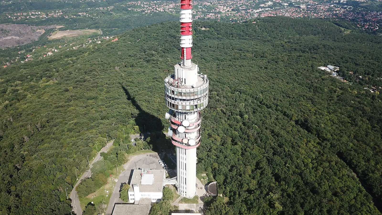
Photo: VargaA, CC BY-SA 4.0, Wikimedia Commons

- On foot
- Tettye 15 minutes, Misina summit at least 50 minutes from the building, uphill
- Climb
- about 380 metres of ascent from the building to Misina
- Bus back
- the 35 and 35Y from the Misinatető stop; the last one leaves early in the evening
- Timetable
- Tüke Busz
Pécs lies on the southern slope of the Mecsek, and the hills start almost where the streets of the old town end. You don't need a car: you set off on foot from the building, and when you're tired you come back on a local bus. Wear comfortable shoes and take water, as the uphill stretches are steep in places.
Tettye 15 min
The gateway to the Central Mecsek: a plateau 253 metres high with a 4.5-hectare park on the site of an old quarry. On the edge of the park stand the ruins of Bishop György Szatmári's Renaissance summer residence. In the Ottoman period it housed a dervish monastery, and the name Tettye probably comes from the Turkish "tekke", meaning dervish lodge. In 1892 the city built its first proper water supply network on the water of the Tettye spring.
Next to the square is the Tettye limestone tufa cave, a system of passages formed in tufa about ten thousand years old. It is closed in winter; check its opening hours on the Danube-Drava National Park website before you go.
If you'd rather not walk uphill: bus 33 from Ágoston tér, 7 minutes from the building, takes you to Tettye tér.
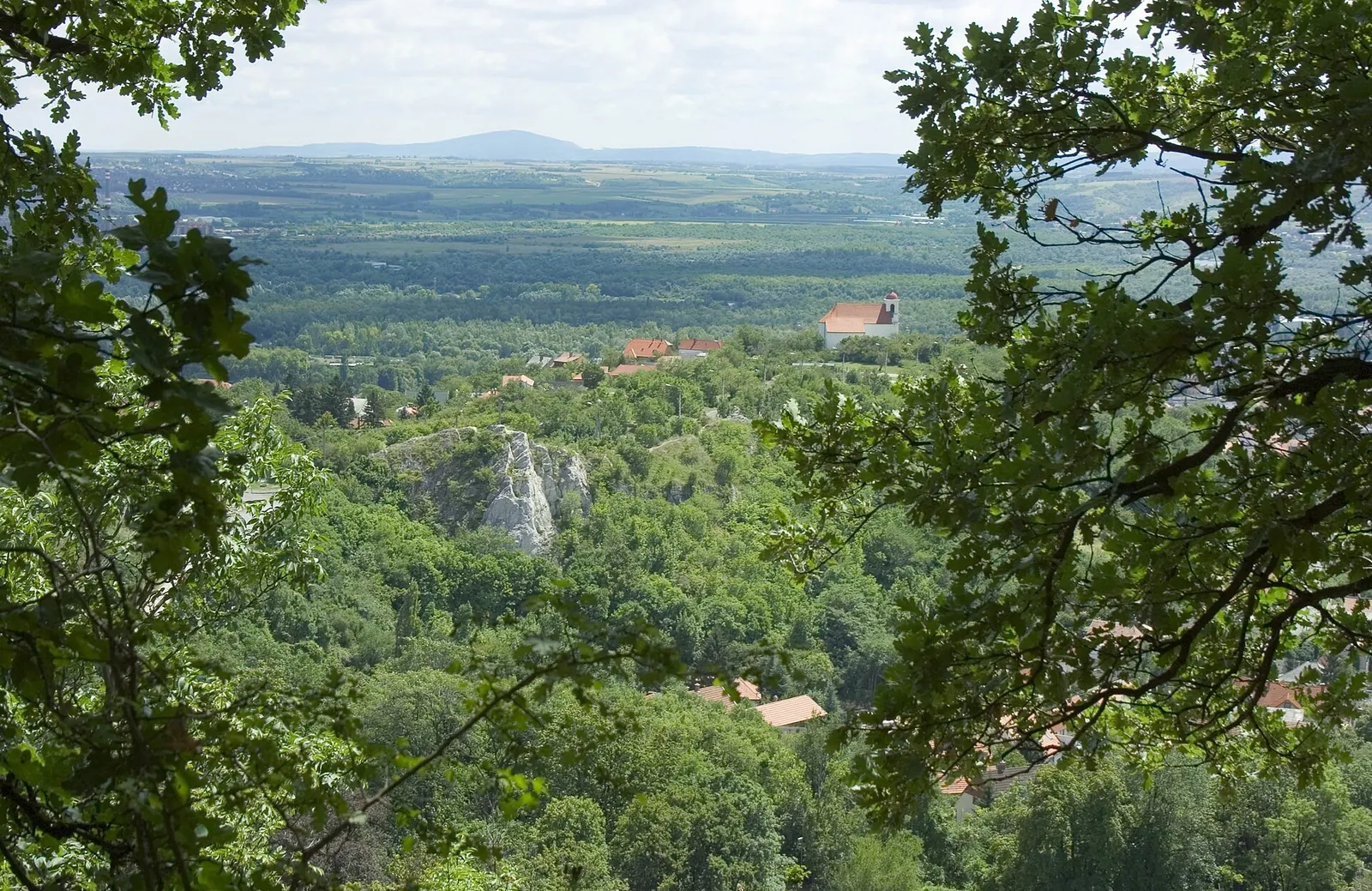

Havi-hegy and the Church of Our Lady of the Snows 14 min, uphill
You can see this small church from many points in the city. It was built as the result of a vow after the plague of 1690-91 and was finished by 1697: the people of Pécs carried the building materials up on their backs. A path leads up to it from Tettye park, and from there you get a fine view over the old town.
The classic loop: from Tettye to Misina
The trail marked with a yellow stripe starts on Tettye tér. After about 1.5 kilometres and about 150 metres of climbing you reach Dömörkapu, where several hiking trails meet. Nearby is the Flóra-pihenő, a round stone lookout built in 1893, with views over the Eastern Mecsek. From Dömörkapu it's another 1.2 kilometres or so and about 140 metres of climbing to the Misina summit, the 535-metre peak of the Mecsek.
In total that's about 2.7 kilometres and about 300 metres of height gain from Tettye tér. The distances are estimates calculated from the marked hiking trails on OpenStreetMap.
The TV tower and the viewing platform
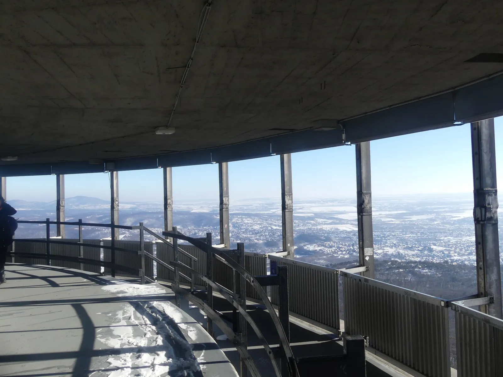
The Pécs TV tower stands on Misina: 197 metres tall and, according to its operator, the tallest building in Hungary. It opened in 1973; the Kiss József lookout tower used to stand on the site. You can visit the viewing platform and the restaurant, and you go up by lift. Check opening hours and ticket prices at tvtoronypecs.hu.

Back to town
From the Misinatető stop, the 35 bus goes down via Barbakán and the 35Y via the Market Hall (Vásárcsarnok); both run to the main railway station (Főpályaudvar), roughly every hour. The last bus leaves early in the evening, a little later at weekends than on weekdays. So don't set off too late in the afternoon, or be ready to walk down: via Dömörkapu to Tettye it's about 3 kilometres, fine for beginners too. Bus 34 also runs from Dömörkapu. You'll find the exact departures in the Tüke Busz timetable.
Longer hikes
If you have a whole day: marked trails from Misina or Dömörkapu take you to Kantavár, a medieval castle ruin, and from there on to Remete-rét, where the Rockenbauer Pál South Transdanubian Blue Trail passes through. There are no buses to these places, so set off with a hiking map or a hiking app.